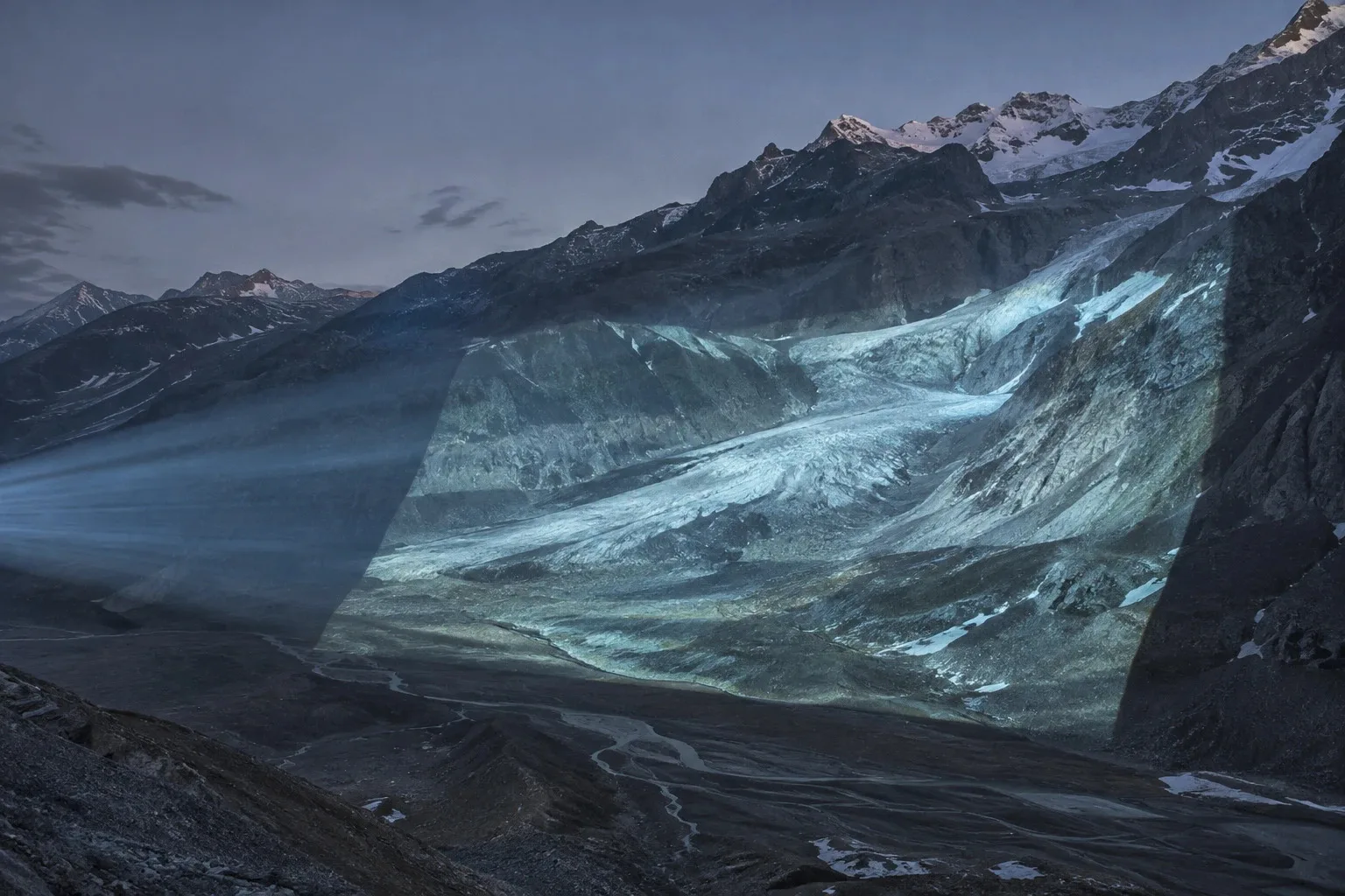
A map is a photograph
A river can change which ocean it drains into in four days. The planet has always rebuilt its own relief and never worked to a design. What is new is the clock.
- Subject
- Geology, Rivers, Ice
A landscape looks like a finished object. A valley has a shape, a coast has a line, a mountain has a summit with a number against it, and all of it is printed on maps that get reissued without that number changing. None of that is a description of a permanent thing. It is a photograph of a slow one. The planet is not working towards a design and never was: it reworks whatever is already lying about, using the rock that is already fractured, the valley that is already cut, the sediment that is already in the way. What gets called the shape of the world is only the state the rebuilding happened to be in when somebody last surveyed it.
The plainest demonstration is in Scandinavia, where the ground is still rising out of the sea because of a weight that left ten thousand years ago. The ice sheet that lay over the north pressed the crust down into the mantle underneath it, and when the ice melted the crust began coming back up. It is still coming. At the head of the Gulf of Bothnia the land gains close to a centimetre a year, Finland is handed several square kilometres of new ground by the retreating sea annually, and towns along that coast have had to move their harbours as the water walked away from them. Nobody files this under catastrophe. It is the same class of event as everything below.
In May 2016 a river changed which ocean it drained into, and it took about four days. The Slims in the Yukon was fed by meltwater off the Kaskawulsh Glacier and ran north, through Kluane Lake and on towards the Bering Sea. The glacier had been retreating for years, and that spring the retreat opened a channel at its toe that happened to be slightly steeper the other way. The meltwater took it, into the Alsek and south to the Pacific. The Slims became a dust-blown bed, the lake fell by about a metre, and the fish and the birds went where the water went. Geologists call this river piracy, and until then every case they had was in the rock record rather than in front of them.
Ground can also simply open. In Yakutia there is a gash in the permafrost roughly a kilometre long and up to a hundred metres deep, which started in the 1960s when the forest above it was cleared and the shaded ground underneath began to thaw. It widens by tens of metres a year and will not stop while there is ice left in it to lose. What its walls expose is sediment laid down over hundreds of thousands of years, pollen and bones still in place. The hole is not destroying a record of the past. It is cutting a section through one.
Some of what moves is legal. The border between Italy and Switzerland in the high Alps was drawn along the watershed, which at that altitude means along the ice, on the reasonable assumption that a glacier is a landmark. The ice has shrunk and the watershed has moved with it, so the line in the treaty no longer matches the ground it was written to describe. In 2023 the two countries agreed to redraw part of it near the Matterhorn. A mountain hut had ended up in the wrong country without being moved.
The engineer's answer to all of this stands in Louisiana. The Mississippi has rebuilt its delta roughly every thousand years by abandoning its channel for a shorter and steeper one, and by the middle of the last century it had picked the next: the Atchafalaya, which reaches the sea in less than half the distance. The United States decided that was not acceptable, because the existing course is where Baton Rouge and New Orleans and the refineries are. A control structure finished in 1963 has held the split at a fixed ratio ever since. It is one of the few places on earth where a person can stand and watch a government hold a river in a shape the river has already decided to leave.
So changing shape is not the anomaly. It is the ordinary business of the planet, and it has been running quietly behind every map ever printed. The anomaly is the clock. Work that the record shows taking centuries is being done in decades, and nothing involved is built for that: not the species that would otherwise have had time to walk north, not the harbour, not the treaty, not the pipeline laid through ground that was frozen on the day it was surveyed. The land is not in trouble and never was. It will take whatever shape the new conditions give it, and it will take it without any preference at all. The trouble sits entirely on our side of the line, in the assumption written into everything we build that the picture we were handed was the finished one.
Written here, from the published record.